
Getting the most from Windy.com
by Sam Landsman 16 Feb 2019 18:23 PST
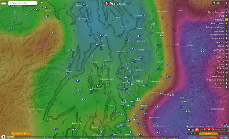
Windy.com © Sam Landsman
Windy.com is our single favorite weather resource for cruising the Pacific Northwest. We never ignore the official NOAA or Environment Canada marine forecasts, but Windy offers a much more granular look at the weather. Environment Canada and NOAA forecasts cover large areas over many hours with wind speeds expressed in big ranges (10 knots or more). Windy allows you to pan and zoom to the area you'll be traveling, and to step through the forecast (several forecasts, actually) in one-hour increments. Plus, it's beautiful to look at and play with!
Here's a real-life example of how Windy can help make cruising safer and more comfortable. The northwest coast of Vancouver Island is a huge forecast zone, stretching from north of Cape Scott to south of Brooks Peninsula. Environment Canada's forecast for the area has to include the worst conditions anywhere in that forecast zone, but those conditions might have no bearing on your route. On both our trips around Vancouver Island last summer, for instance, Environment Canada called for 20-30 knot winds the day we rounded Cape Scott. We had calm conditions. Many would attribute this to poor or conservative forecasting, but that wasn't the case. It really was that windy further south, off Brooks Peninsula. Windy helped us more fully understand the Environment Canada forecast, showed us that the wind would indeed blow in some places, but not along our route (we confirmed this day-of with weather reports from buoys and lightstations).
To read more please go to the original article.